ActiveMap Viewer Collection
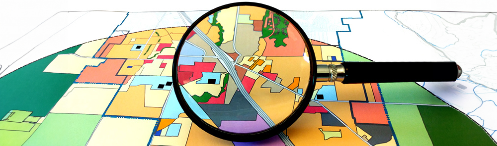
The interactive maps listed below assist in easily accessing location-based information pertaining to a specific subject and/or area within the unincorporated areas of Sonoma County.
Note: The original ActiveMap has been reorganized into separate use-specific map viewers. As our efforts are a work in progress, the ActiveMap collection will grow as viewers are developed.
On this page:
General Maps
Go to ActiveMap Viewer Guidelines »


Planning Initiatives
Go to ActiveMap Viewer Guidelines »


Fire Prevention
Go to ActiveMap Viewer Guidelines »


2020 Glass Fire-related Maps
Go to ActiveMap Viewer Guidelines »


2020 Walbridge-Meyers Fires-related Maps
Go to ActiveMap Viewer Guidelines »


2019 Kincade Fire-related Maps
Go to ActiveMap Viewer Guidelines »


2019 Winter Storms and Flooding-related Maps
Go to ActiveMap Viewer Guidelines »


2017 Sonoma Complex Fire-related Maps
Go to ActiveMap Viewer Guidelines »


Accessibility Statement
Permit Sonoma is committed to ensuring the interactive mapping applications are accessible to all users. The website undergoes review and redesign as necessary to ensure that they meet and/or exceed the requirements of Section 508 of the Rehabilitation Act of 1973.
Should gaining access to information on these websites be hindered, please submit a Permit Sonoma GIS Inquiry or call us at (707) 565-1900 and assistance shall be provided to meet your needs.
Contact Us
Questions, inquiries, and/or comments? Please submit a comment or inquiry.
Permit Sonoma GIS does not provide walk-in customer office hours. All mapping product requests and/or inquiries will be serviced through GIS Online Services.
 Translate